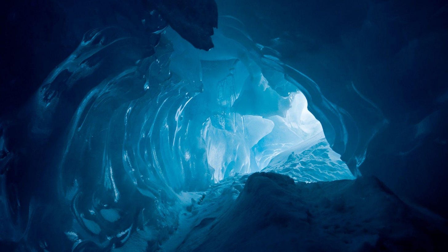
Antarctic Exploration Reveals Anunnaki Aliens in Underground Bases
In 1929, Russian historians publicized the discovery of an incredibly unusual map. The map depicted a coastal area that mirrored the continent of Antarctica.
What was strange about this map was that it depicted a continent covered in green vegetation, and not just snow and ice. The document was known as the “Piri Reis map”, and it was concluded to represent Antarctica as it was over 6,000 years ago. But who would have mapped this continent thousands of years ago? It could not be a known civiliz…
Keep reading with a 7-day free trial
Subscribe to Mysteries of the World to keep reading this post and get 7 days of free access to the full post archives.


